Sunny, warm weekend for the London Marathon but Monday may bring rain

- Published
Whether you're planning a lazy picnic or something more energetic like a marathon, this weekend will bring a continuation of the dry, sunny, warm weather.
The high pressure that has been dominant over the UK recently bringing dry, settled conditions will continue for a few more days.
For some, the long, dry spell could be broken on Monday with heavy thundery downpours.
This could be welcome relief for some places which have had little or no measurable rainfall in April.
Saturday warmest day of this long, dry spell
Temperatures have been rising steadily since Thursday and for most Saturday will also be warm with afternoon highs of 17-20C (63-68F), possibly reaching 21-22C (70-72F) in the some spots.
Things will start off chilly although with a touch of ground frost at sunrise and some areas of mist and low cloud, especially for East Anglia.
The easterly wind will be lighter than in recent days, although for North Sea facing coasts it will still be cooler with the onshore breeze. Temperatures for coastal areas of north-east England and south-east Scotland won't get much beyond 11-14C.
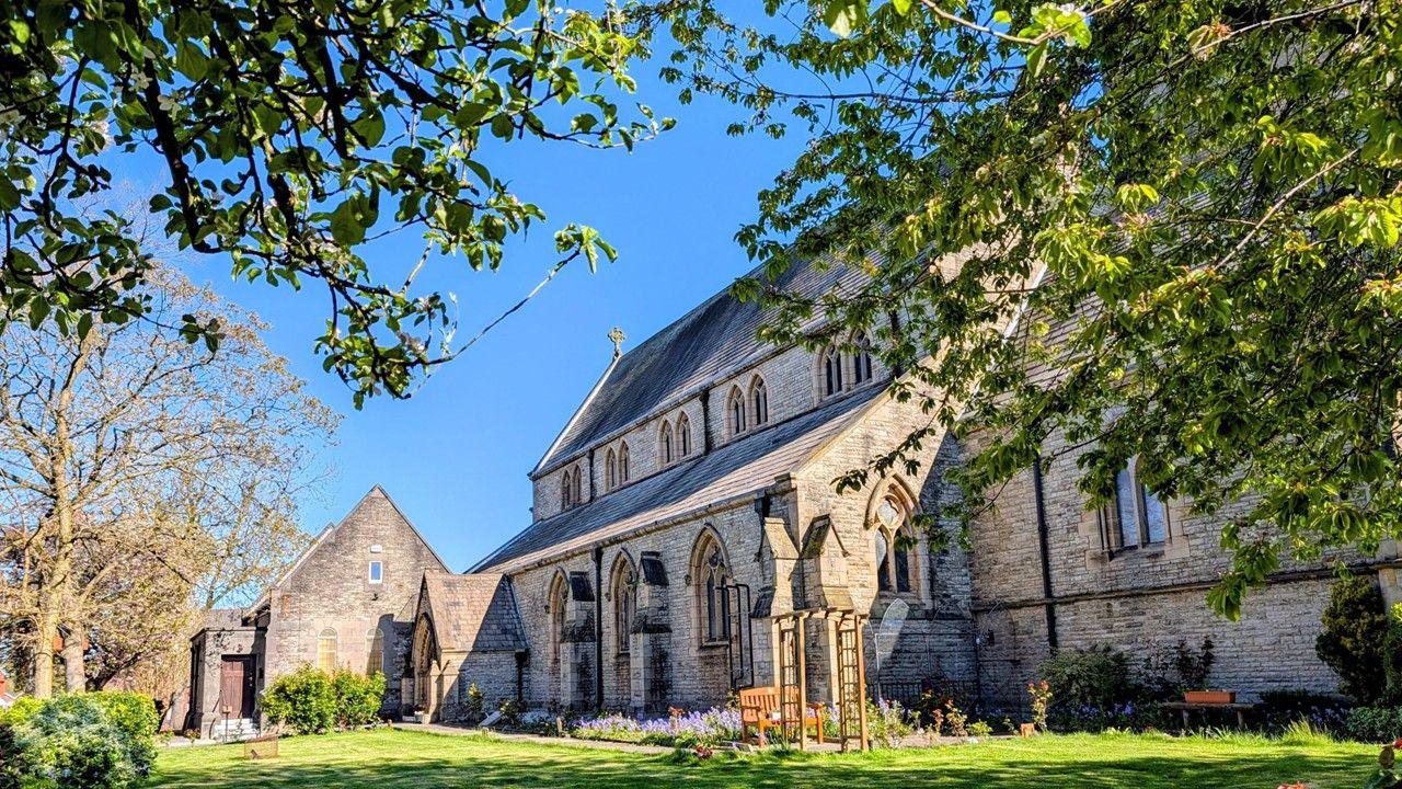
What's the London marathon forecast?
Elizabeth Rizzini has the weather forecast for London Marathon 2026
For runners getting to the start line of the London Marathon in Blackheath early on Sunday, it won't be as cold as on recent mornings at around 8C.
Any early mist and low cloud in the east will lift to bring blue skies and sunshine with some more fair weather cloud in the afternoon and a light easterly breeze. It'll stay dry and in the strong April sunshine the UV and the pollen levels will both be high.
Temperatures by the end of the afternoon will peak at 18 or 19C but it will feel a lot warmer than that in the sunshine and on tarmac.
It could feel uncomfortably warm for many runners, especially those in costume but the fine, dry conditions could help encourage spectators. Humidity levels will fortunately be low.
Across the rest of the country Sunday is looking more unsettled for some but still dry and warm for most.
Scotland and Northern Ireland will be cloudy with light showers especially in the north and west.
Wales and western England could be cloudy but should stay dry, with a few isolated showers. The rest of England should be dry with sunny spells. Temperatures will be a little lower at 14-19C.
Will the sunshine last into next week?
On Monday parts of England will see some heavy, possibly thundery, downpours which will end the recent dry spell.
Although there is still some uncertainty, the areas most likely to be affected are the Midlands, central southern England and East Anglia which have so far experienced a particularly dry April. There could also be some showers in eastern Wales.
While it will be cloudier and cooler at times, it looks mostly dry and settled for the rest of the month and into the start of May.
Temperatures will be at or just above the seasonal average for most.
With a south-easterly wind, north-west Scotland could turn very warm for the time of year with temperatures in the Highlands possibly reaching 20C by midweek.
Big variation in rainfall in April

Bedfordshire has been particularly dry so far this month but could see showers on Monday
This April there have been huge variations in rainfall for different parts of the country.
There are still four official weather stations that have recorded less than 1mm of rain this month - Shoeburyness in Essex, Tibenham in Norfolk, Bedford and Cambridge.
According to the Met Office, Bedfordshire and Cambridgeshire could be on course to see their second driest April on record.
Further north, Scotland had a very wet start to April with some areas receiving 40% more rain than average.
To keep an eye on the forecast where you live click here or check the BBC weather app.
- Published2 hours ago
- Published8 April
- Published7 April