Settled weather to persist for the first week of November

- Published
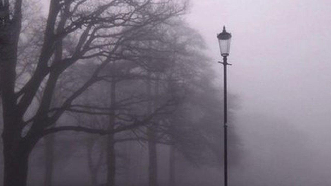
More fog is forecast for the week ahead after parts of the UK saw visibility significantly reduced on Saturday and Sunday morning.
England and Wales experienced the foggiest conditions, prompting Met Office yellow warnings on both days.
Into next week, the risk will move further north.
Additional warnings could be issued in the coming days as the waning strength of the late autumn sun means mist, fog and patches of low cloud are slow to clear.
High pressure continues to dominate

Map of the North Atlantic for Monday
High pressure is forecast to dominate across the UK in the week ahead, with the centre drifting east across northern areas, bringing largely settled conditions.
Overnight into Monday, a weak weather front will take low cloud and drizzle clear of southern England.
Elsewhere it will be a chillier start more widely with a some rural ground frost and patchy fog, especially in the north.
Fog will be less widespread across England and Wales.
Instead, the areas most prone to fogginess during the morning commute will be the Scottish glens, the Central Belt, the Cheshire Plains, the Vale of York and parts of Northern Ireland.
Much of the UK will enjoy spells of autumn sunshine but the odd shower will pop up in eastern counties of England.
Another weather front near northern Scotland may have more cloud and some drizzle, particularly over Caithness and the Northern Isles.
Winds will be light across northern areas, but further south a north-easterly breeze will develop making it feel a little fresher than the weekend.
Maximum temperatures will be between 10 and 13C, perhaps reaching 14C along the English Channel coasts.
Prospects for the rest of the week
Although the UK will remain largely dry under high pressure, the east or northeast wind could introduce a few showers to eastern and southern coastal counties.
While daytime temperatures will remain close to average for early November, from 11 to 14C north to south, it will feel chillier than the weekend just gone.
Nights will be chillier under clearer skies with an increased risk of patchy rural frost. Freezing fog is possible.
With high pressure showing little sign of moving away, this largely settled and dry weather pattern looks set to continue through early November, with little prospect of any significant rainfall.
You can find more detail on the week ahead here.
- Published15 January 2025
- Published1 day ago


