Amber heat health alerts in force as heatwave reaches 35C peak

- Published
Amber and yellow heat health alerts have come into force as parts of the UK endure the fourth widespread heatwave of the year so far.
Temperatures are forecast to peak on Wednesday with readings as high as 35C (95F) in the hottest places.
Though the heatwave will come to a quick end for many on Thursday, well above-average temperatures in the mid- to high 20s Celsius will persist into the weekend.
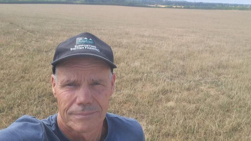
On Wednesday, the Environment Agency declared an official drought for more than half of England, triggered in part by the summer's unrelenting heat and significant lack of rainfall.
How hot will it get where you live?
A plume of intense heat surging north from North Africa, and already bringing exceptionally high temperatures to parts of Iberia and France, will reach the UK on Wednesday.
Temperatures are expected to climb sharply across southern and eastern England and into parts of the Midlands, marking the peak of a short but notable heatwave.
Temperatures in these areas will range from 30-35C at their highest point on Wednesday.
Some eastern areas of Wales could also edge into heatwave criteria.

The UK Health Security Agency has issued amber heat health alerts for the East Midlands, East of England, London and the south-east from 09:00 BST on 29 July until 09:00 BST on 30 July.
The alert warns that significant impacts are likely across health and social care services due to the high temperatures, including a rise in deaths, particularly among those aged 65 and over or with health conditions.
Less severe yellow heat heat alerts have also been issued for the same period for the south-west, West Midlands, and Yorkshire and the Humber.
For much of Wales and Northern England, the three-day run of temperatures of 25C or above required to classify as a heatwave will not be met.
The same is true for Scotland and Northern Ireland where temperatures will rise closer to 20C at best.
Is there a hosepipe ban in my area? What you need to know
- Published5 days ago
How long will the heat last?
This time around the heat spike looks set to be brief.
The hottest conditions will be concentrated on Wednesday before a weather front moving through on Thursday will usher in fresher air, bringing a noticeable change in feel.
Temperatures are expected to fall by around 5-8C compared with Wednesday's peak.
Humidity will also ease, making it more comfortable for sleeping.
Even so, it will remain warm with temperatures still well above average, sitting in the mid- to high 20s Celsius into the weekend.

Heat to exacerbate conditions in driest regions
Drought conditions were declared by the Environment Agency on Wednesday for seven areas of England.
This includes East Anglia; Hertfordshire and the whole of London; Thames Valley; Hampshire & the Isle of Wight; Devon & Cornwall; the West Midlands and Wessex (covering Dorset, Somerset, Wiltshire, and south Gloucestershire).
Paired with the significant heat, the lack of rain means dry ground and low soil moisture levels continue to be of concern.
By Friday and into the weekend, pressure will build across the southern half of the UK prolonging the dry spell further, despite a few showers in the north.
An ongoing lack of rain means hosepipe bans are in force for millions of households and dry vegetation has provided fuel for wildfires to burn in a number of areas.
According to the Met Office, rainfall in England this month is at 4.4mm, one of the lowest levels on record - tied with June 1925 and behind only February 1891 when 3.3mm were recorded.
Wisley in Surrey has been one of the driest locations in south-east England, clocking up 42 days of no rain as of 29 July.
Rainfall levels in Wales, where drought was triggered in parts last week, are so low that July 2026 is currently the fourth driest of any month since records began.

Get in touch
How are you coping with the heat and what's the weather like where you are? Do you live in a high rise flat, care for the elderly or run a business? Send us your pictures and tips for staying cool.
- Published24 April 2025
- Published27 July