Thunder in a wildfire: What is a pyrocumulonimbus cloud?published at 09:42 BST
 Helen Willetts
Lead weather presenter
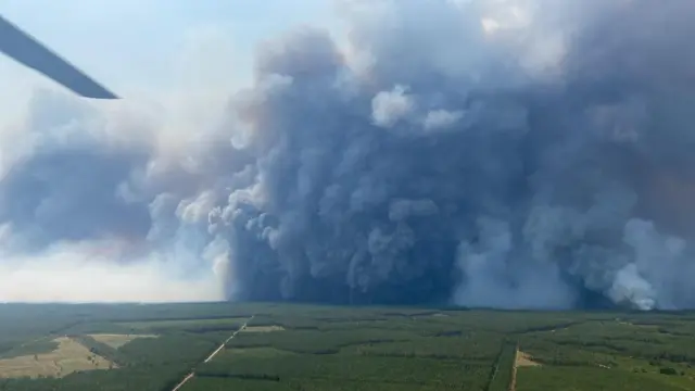 Image source, EPA/Shutterstock
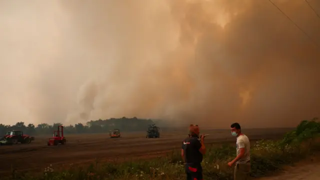
A pyrocumulonimbus cloud as seen over the village of Saumos, France, on Saturday
Wildfires are sustained by dry and warm weather with strong winds adding to the danger, moving the fires very quickly.
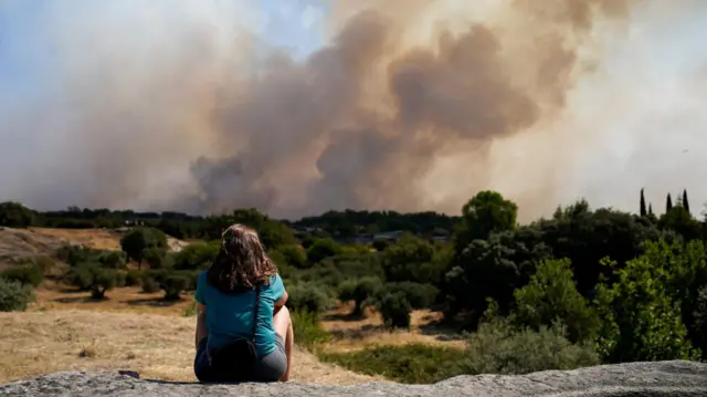
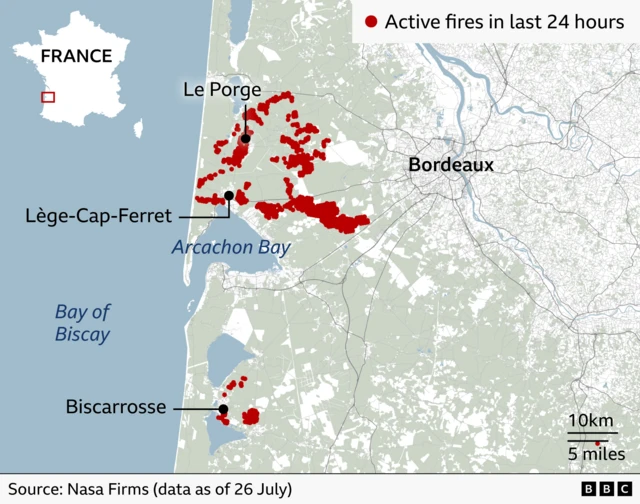
However, wildfires can also create their own winds and weather, like a pyrocumulonimbus cloud which is essentially a thunderstorm created by a very intense wildfire, as seen near Bordeaux.
When a large fire burns, it releases huge amounts of heat. This heat makes the air above the fire rise rapidly, carrying smoke, ash and water vapour high into the atmosphere.
As the air rises, it cools and the water vapour condenses into a cloud. If the fire is powerful enough and the atmosphere is unstable, that cloud can grow into a towering cumulonimbus, the same type of cloud associated with thunderstorms.
Therefore, if pyrocumulonimbus clouds become large enough, they too can produce lightning, which can then start new fires.
The winds within these clouds, like in thunderstorms, are more unpredictable and can spread out in all directions. They can also occasionally bring hail and rain.
Scientists sometimes describe these clouds as a fire-generated thunderstorm because the fire itself provides the energy needed to build the cloud.